Fenced-off area, Station Approach, Narberth
Introduction
The photograph on this page of Fenced-off area, Station Approach, Narberth by Jaggery as part of the Geograph project.
The Geograph project started in 2005 with the aim of publishing, organising and preserving representative images for every square kilometre of Great Britain, Ireland and the Isle of Man.

There are currently over 7.5m images from over 14,400 individuals and you can help contribute to the project by visiting https://www.geograph.org.uk
Fenced-off area, Station Approach, Narberth
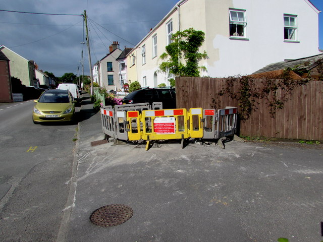
Image: © Jaggery Taken: 31 Jul 2015
Viewed on July 31st 2015. The red Amey/Welsh Water notice apologises for any inconvenience caused during water network maintenance.
Images are licensed for reuse under creativecommons.org/licenses/by-sa/2.0
Image Location
Latitude
51.79926
Longitude
-4.727894