Bridleway to Lamber Hall and Sutton Moor
Introduction
The photograph on this page of Bridleway to Lamber Hall and Sutton Moor by Deborah Tilley as part of the Geograph project.
The Geograph project started in 2005 with the aim of publishing, organising and preserving representative images for every square kilometre of Great Britain, Ireland and the Isle of Man.

There are currently over 7.5m images from over 14,400 individuals and you can help contribute to the project by visiting https://www.geograph.org.uk
Bridleway to Lamber Hall and Sutton Moor
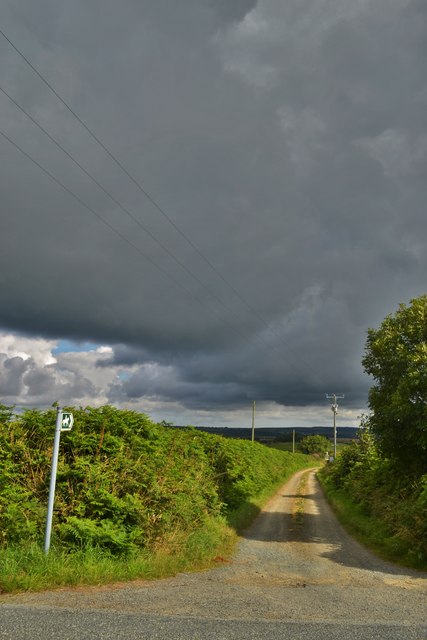
Image: © Deborah Tilley Taken: 31 Jul 2015
Leading to the house. Unfortunately the bridleway is impassable due to very deep mud and slurry. Our hike was cut short at the start!
Images are licensed for reuse under creativecommons.org/licenses/by-sa/2.0
Image Location
Latitude
51.793712
Longitude
-5.052156