The Lodge, Sundridge Park Manor
Introduction
The photograph on this page of The Lodge, Sundridge Park Manor by Christopher Hilton as part of the Geograph project.
The Geograph project started in 2005 with the aim of publishing, organising and preserving representative images for every square kilometre of Great Britain, Ireland and the Isle of Man.

There are currently over 7.5m images from over 14,400 individuals and you can help contribute to the project by visiting https://www.geograph.org.uk
The Lodge, Sundridge Park Manor
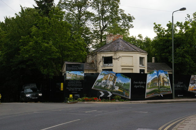
Image: © Christopher Hilton Taken: 30 Jul 2015
As the signs proclaim, the grounds of Sundridge Park Manor are to be the site of a major housing development; the lodge, however, has deteriorated markedly in the past five years, as the earlier image at Image demonstrates.
Images are licensed for reuse under creativecommons.org/licenses/by-sa/2.0
Image Location
Latitude
51.413404
Longitude
0.024982