Nightingale Lane, N8 (3)
Introduction
The photograph on this page of Nightingale Lane, N8 (3) by Mike Quinn as part of the Geograph project.
The Geograph project started in 2005 with the aim of publishing, organising and preserving representative images for every square kilometre of Great Britain, Ireland and the Isle of Man.

There are currently over 7.5m images from over 14,400 individuals and you can help contribute to the project by visiting https://www.geograph.org.uk
Nightingale Lane, N8 (3)
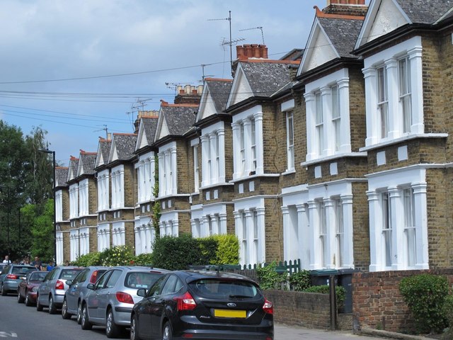
Image: © Mike Quinn Taken: 15 Jul 2015
The east side, between Brook Road and Eastfield Road. The original course of the New River ran alongside the southern part of Nightingale Lane, then eastwards along the southern side of Hornsey High Street - see Image
Images are licensed for reuse under creativecommons.org/licenses/by-sa/2.0
Image Location
Latitude
51.589419
Longitude
-0.12268