High Wycombe: Daws Hill Lane
Introduction
The photograph on this page of High Wycombe: Daws Hill Lane by Nigel Cox as part of the Geograph project.
The Geograph project started in 2005 with the aim of publishing, organising and preserving representative images for every square kilometre of Great Britain, Ireland and the Isle of Man.

There are currently over 7.5m images from over 14,400 individuals and you can help contribute to the project by visiting https://www.geograph.org.uk
High Wycombe: Daws Hill Lane
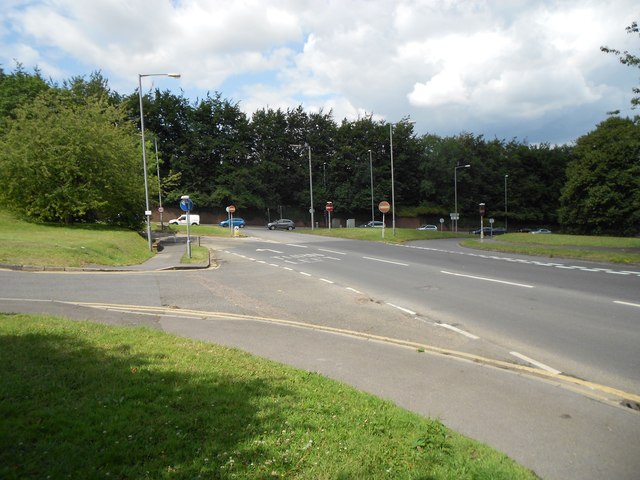
Image: © Nigel Cox Taken: 25 Jul 2015
This is the approach of Daws Hill Lane to its junction with the A404 Marlow Hill. The original route of Marlow Hill, before it was straightened, cut across the foreground here and followed the now dead-end road to the left.
Images are licensed for reuse under creativecommons.org/licenses/by-sa/2.0
Image Location
Latitude
51.619901
Longitude
-0.759038