Access road to Wester Whyntie from B9139
Introduction
The photograph on this page of Access road to Wester Whyntie from B9139 by Stanley Howe as part of the Geograph project.
The Geograph project started in 2005 with the aim of publishing, organising and preserving representative images for every square kilometre of Great Britain, Ireland and the Isle of Man.

There are currently over 7.5m images from over 14,400 individuals and you can help contribute to the project by visiting https://www.geograph.org.uk
Access road to Wester Whyntie from B9139
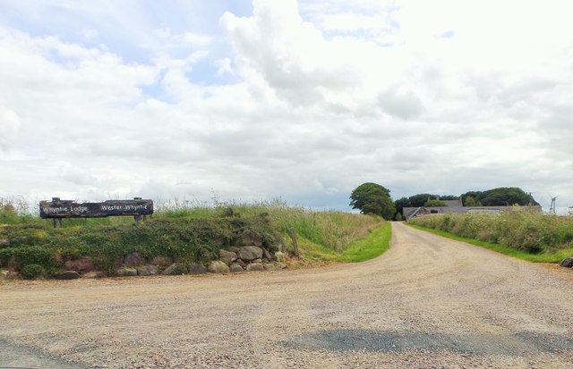
Image: © Stanley Howe Taken: 23 Jul 2015
Wester Whyntie is on the right; the other building named on the sign (Whyntie Lodge) is not apparent on current OS maps. This whole area was once a wartime airfield.
Images are licensed for reuse under creativecommons.org/licenses/by-sa/2.0
Image Location
Latitude
57.67281
Longitude
-2.637553