Mounds of rubble in the former County Hall site, Croesyceiliog, Cwmbran
Introduction
The photograph on this page of Mounds of rubble in the former County Hall site, Croesyceiliog, Cwmbran by Jaggery as part of the Geograph project.
The Geograph project started in 2005 with the aim of publishing, organising and preserving representative images for every square kilometre of Great Britain, Ireland and the Isle of Man.

There are currently over 7.5m images from over 14,400 individuals and you can help contribute to the project by visiting https://www.geograph.org.uk
Mounds of rubble in the former County Hall site, Croesyceiliog, Cwmbran
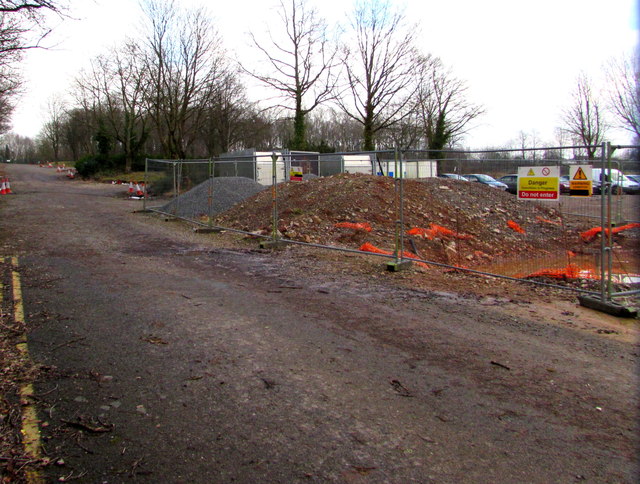
Image: © Jaggery Taken: 15 Feb 2015
Viewed through this http://www.geograph.org.uk/photo/4589015 gate in February 2015. The former County Hall http://www.geograph.org.uk/photo/2599278 was demolished in 2013 after being condemned because concrete cancer allowed rain to penetrate the cladding, rusting steel supports.
Images are licensed for reuse under creativecommons.org/licenses/by-sa/2.0
Image Location
Latitude
51.654642
Longitude
-3.00156