Path between Evergreen Road and Heather Mead
Introduction
The photograph on this page of Path between Evergreen Road and Heather Mead by David Howard as part of the Geograph project.
The Geograph project started in 2005 with the aim of publishing, organising and preserving representative images for every square kilometre of Great Britain, Ireland and the Isle of Man.

There are currently over 7.5m images from over 14,400 individuals and you can help contribute to the project by visiting https://www.geograph.org.uk
Path between Evergreen Road and Heather Mead
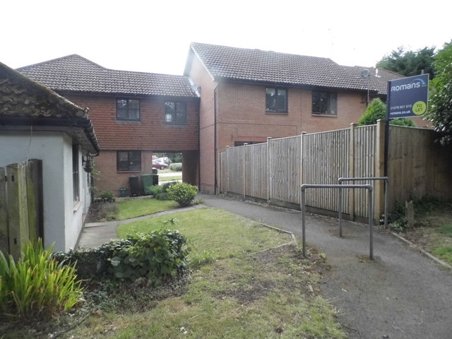
Image: © David Howard Taken: 27 Jul 2015
The room on the bridge may well have a flying freehold, which describes legal ownership of a part of a building above someone else's land.
Images are licensed for reuse under creativecommons.org/licenses/by-sa/2.0
Image Location
Latitude
51.322517
Longitude
-0.723739