The junction of Station Road with the B4035
Introduction
The photograph on this page of The junction of Station Road with the B4035 by Bill Boaden as part of the Geograph project.
The Geograph project started in 2005 with the aim of publishing, organising and preserving representative images for every square kilometre of Great Britain, Ireland and the Isle of Man.

There are currently over 7.5m images from over 14,400 individuals and you can help contribute to the project by visiting https://www.geograph.org.uk
The junction of Station Road with the B4035
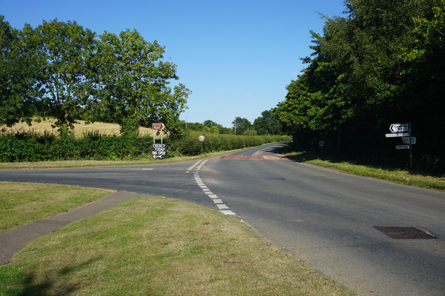
Image: © Bill Boaden Taken: 19 Jul 2015
This is the eastern end of Chipping Campden. The town used to have a station up the road to the left, and it was a little way out of the town. The sign at the junction stating: "Cricket today, bar open" is telling, possibly listing the only thing that would provide an attraction.
Images are licensed for reuse under creativecommons.org/licenses/by-sa/2.0
Image Location
Latitude
52.052751
Longitude
-1.763997