Lounsdale and Stanely Castle Reservoir from the air
Introduction
The photograph on this page of Lounsdale and Stanely Castle Reservoir from the air by Thomas Nugent as part of the Geograph project.
The Geograph project started in 2005 with the aim of publishing, organising and preserving representative images for every square kilometre of Great Britain, Ireland and the Isle of Man.

There are currently over 7.5m images from over 14,400 individuals and you can help contribute to the project by visiting https://www.geograph.org.uk
Lounsdale and Stanely Castle Reservoir from the air
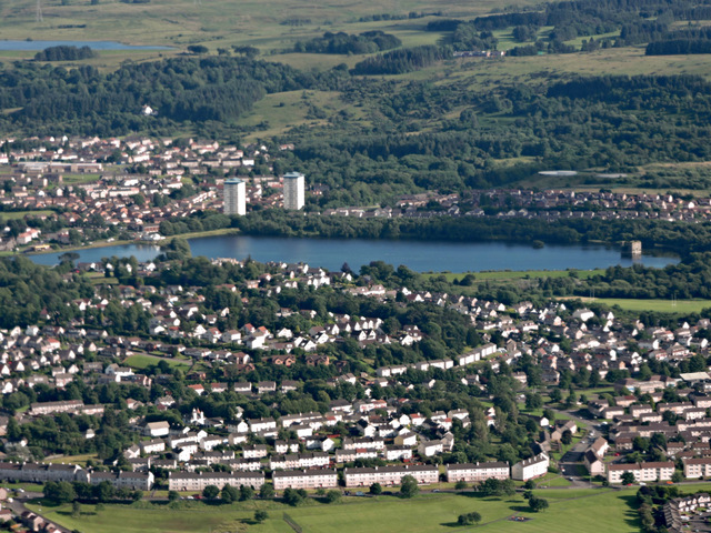
Image: © Thomas Nugent Taken: 19 Jul 2015
Morar Drive is in the foreground. Stanely Castle can be seen to the right within the reservoir.
Images are licensed for reuse under creativecommons.org/licenses/by-sa/2.0
Image Location
Latitude
55.831248
Longitude
-4.452313