Griffiths Avenue, Cheltenham
Introduction
The photograph on this page of Griffiths Avenue, Cheltenham by Stephen McKay as part of the Geograph project.
The Geograph project started in 2005 with the aim of publishing, organising and preserving representative images for every square kilometre of Great Britain, Ireland and the Isle of Man.

There are currently over 7.5m images from over 14,400 individuals and you can help contribute to the project by visiting https://www.geograph.org.uk
Griffiths Avenue, Cheltenham
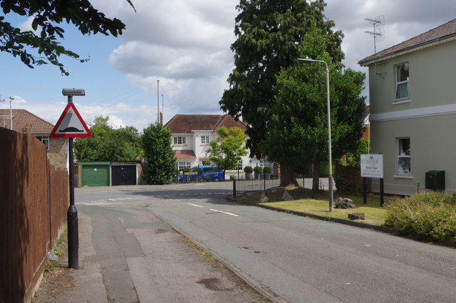
Image: © Stephen McKay Taken: 25 Jul 2015
Looking towards the junction with Libertus Road in the St Mark's district of Cheltenham. The building on the right is a care home for the elderly - of which there seem to be a large number in this area.
Images are licensed for reuse under creativecommons.org/licenses/by-sa/2.0
Image Location
Latitude
51.898659
Longitude
-2.104448