The course of the Antonine Wall
Introduction
The photograph on this page of The course of the Antonine Wall by Lairich Rig as part of the Geograph project.
The Geograph project started in 2005 with the aim of publishing, organising and preserving representative images for every square kilometre of Great Britain, Ireland and the Isle of Man.

There are currently over 7.5m images from over 14,400 individuals and you can help contribute to the project by visiting https://www.geograph.org.uk
The course of the Antonine Wall
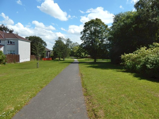
Image: © Lairich Rig Taken: 3 Jul 2015
The path and the open space beside it preserve the line of the Antonine Wall. The picture was taken from a point 200m further along the path shown in Image, but the view is in the opposite direction.
Images are licensed for reuse under creativecommons.org/licenses/by-sa/2.0
Image Location
Latitude
55.9245
Longitude
-4.357834