Llwybr Frongoch Path
Introduction
The photograph on this page of Llwybr Frongoch Path by Alan Richards as part of the Geograph project.
The Geograph project started in 2005 with the aim of publishing, organising and preserving representative images for every square kilometre of Great Britain, Ireland and the Isle of Man.

There are currently over 7.5m images from over 14,400 individuals and you can help contribute to the project by visiting https://www.geograph.org.uk
Llwybr Frongoch Path
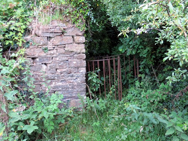
Image: © Alan Richards Taken: 23 Jul 2015
Gât fochyn wrth ochr adfeilion anhedd-dy o'r enw Blaen Golau. Yswaeth, mae'r llwybr wedi ei rwystro ar ol degawdau of esgeuslustra. A kissing gate at the ruined property known as Blaen Golau. Alas, the path is obstructed after decades of neglect.
Images are licensed for reuse under creativecommons.org/licenses/by-sa/2.0
Image Location
Latitude
51.945825
Longitude
-4.331803