Llwybr Cwmwernen / Cwmwernen path
Introduction
The photograph on this page of Llwybr Cwmwernen / Cwmwernen path by Alan Richards as part of the Geograph project.
The Geograph project started in 2005 with the aim of publishing, organising and preserving representative images for every square kilometre of Great Britain, Ireland and the Isle of Man.

There are currently over 7.5m images from over 14,400 individuals and you can help contribute to the project by visiting https://www.geograph.org.uk
Llwybr Cwmwernen / Cwmwernen path
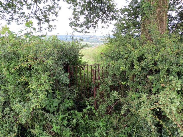
Image: © Alan Richards Taken: 23 Jul 2015
Gât fochyn mewn perth sy wedi ei chuddio'n rhannol ger Ffarm Cwmwernen. A partially hidden kissing gate near Cwmwernen Farm (alder tree valley [stream]).
Images are licensed for reuse under creativecommons.org/licenses/by-sa/2.0
Image Location
Latitude
51.942834
Longitude
-4.328446