Matchbox Lane, Freshwater East
Introduction
The photograph on this page of Matchbox Lane, Freshwater East by Jaggery as part of the Geograph project.
The Geograph project started in 2005 with the aim of publishing, organising and preserving representative images for every square kilometre of Great Britain, Ireland and the Isle of Man.

There are currently over 7.5m images from over 14,400 individuals and you can help contribute to the project by visiting https://www.geograph.org.uk
Matchbox Lane, Freshwater East
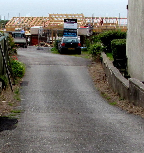
Image: © Jaggery Taken: 21 Jul 2015
Roofing work is in progress in July 2015 in Matchbox Lane, on the south side of Trewent Hill.
Images are licensed for reuse under creativecommons.org/licenses/by-sa/2.0
Image Location
Latitude
51.648461
Longitude
-4.866578