Plaque on a stone alongside St Daniel's Hill, Pembroke
Introduction
The photograph on this page of Plaque on a stone alongside St Daniel's Hill, Pembroke by Jaggery as part of the Geograph project.
The Geograph project started in 2005 with the aim of publishing, organising and preserving representative images for every square kilometre of Great Britain, Ireland and the Isle of Man.

There are currently over 7.5m images from over 14,400 individuals and you can help contribute to the project by visiting https://www.geograph.org.uk
Plaque on a stone alongside St Daniel's Hill, Pembroke
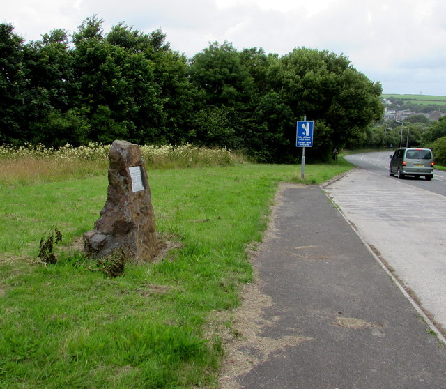
Image: © Jaggery Taken: 21 Jul 2015
The Highways & Transportation Department plaque on the stone records the B4319 St Daniel's Hill Improvement Scheme of the early 1990s, a project supported by the Welsh Office's Rural Initiative. The blue sign http://www.geograph.org.uk/photo/4580731 shows that an escape lane (for vehicles with failed brakes) is 400 yards ahead.
Images are licensed for reuse under creativecommons.org/licenses/by-sa/2.0
Image Location
Latitude
51.668814
Longitude
-4.916606