Steps leading up to Roman Park
Introduction
The photograph on this page of Steps leading up to Roman Park by Lairich Rig as part of the Geograph project.
The Geograph project started in 2005 with the aim of publishing, organising and preserving representative images for every square kilometre of Great Britain, Ireland and the Isle of Man.

There are currently over 7.5m images from over 14,400 individuals and you can help contribute to the project by visiting https://www.geograph.org.uk
Steps leading up to Roman Park
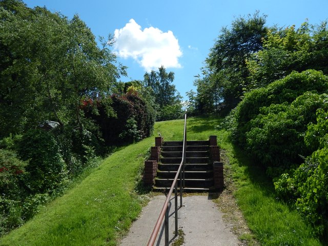
Image: © Lairich Rig Taken: 3 Jul 2015
The steps lead up from Iain Road (compare Image, a view back down them). The line of the steps (heading south-east as they ascend) is on top of, and parallel to, the course of the Antonine Wall. Not far beyond the top of the flight of steps, the Wall makes an abrupt change in direction, to head east, as is shown on the map, and in a view from further ahead: Image
Images are licensed for reuse under creativecommons.org/licenses/by-sa/2.0
Image Location
Latitude
55.922669
Longitude
-4.3502