Roman Park
Introduction
The photograph on this page of Roman Park by Lairich Rig as part of the Geograph project.
The Geograph project started in 2005 with the aim of publishing, organising and preserving representative images for every square kilometre of Great Britain, Ireland and the Isle of Man.

There are currently over 7.5m images from over 14,400 individuals and you can help contribute to the project by visiting https://www.geograph.org.uk
Roman Park
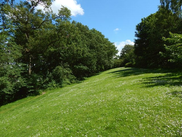
Image: © Lairich Rig Taken: 3 Jul 2015
The area shown here is near the western entrance of the park. The ground slopes down here from the rampart to the ditch of the Antonine Wall. The line of the rampart is among the trees at the top of the slope, while the line of the ditch is among the trees on the left. Further to the east, there is a clear view along the line of the rampart (Image), and a preserved section of its stone base is displayed there (Image).
Images are licensed for reuse under creativecommons.org/licenses/by-sa/2.0
Image Location
Latitude
55.922505
Longitude
-4.34939