Roman Park: base of the Antonine Wall
Introduction
The photograph on this page of Roman Park: base of the Antonine Wall by Lairich Rig as part of the Geograph project.
The Geograph project started in 2005 with the aim of publishing, organising and preserving representative images for every square kilometre of Great Britain, Ireland and the Isle of Man.

There are currently over 7.5m images from over 14,400 individuals and you can help contribute to the project by visiting https://www.geograph.org.uk
Roman Park: base of the Antonine Wall
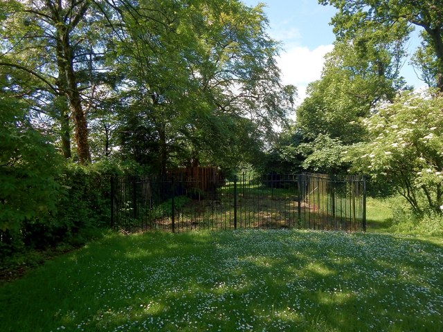
Image: © Lairich Rig Taken: 3 Jul 2015
The view is directly along the length of the rampart of the Antonine Wall. Within the fenced-off area is an exposed section of the stone base upon which the rampart was built. It is 15 Roman feet wide. For a closer look, see Image, which shows the kerbstones on the northern (right-hand) side of the stone base. For a view in the opposite direction (again, directly along the line of the rampart) from the same point, see Image Click on the end-note title for other pictures taken in Roman Park. Similar sections of the stone base are on display elsewhere: two sections in New Kilpatrick Cemetery (Image and Image), and one in Goldenhill Park, Duntocher (Image).
Images are licensed for reuse under creativecommons.org/licenses/by-sa/2.0
Image Location
Latitude
55.922523
Longitude
-4.348431