Eversley Park Road with Springbank on the right
Introduction
The photograph on this page of Eversley Park Road with Springbank on the right by Christine Matthews as part of the Geograph project.
The Geograph project started in 2005 with the aim of publishing, organising and preserving representative images for every square kilometre of Great Britain, Ireland and the Isle of Man.

There are currently over 7.5m images from over 14,400 individuals and you can help contribute to the project by visiting https://www.geograph.org.uk
Eversley Park Road with Springbank on the right
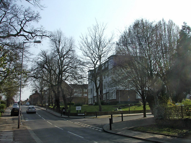
Image: © Christine Matthews Taken: 2 Apr 2007
Looking up towards the junction where the Winchmore public house (formerly the Chase Side Tavern) is situated, with Springbank on the right.
Images are licensed for reuse under creativecommons.org/licenses/by-sa/2.0
Image Location
Latitude
51.639058
Longitude
-0.111525