Farmland at Hunsingore
Introduction
The photograph on this page of Farmland at Hunsingore by Derek Harper as part of the Geograph project.
The Geograph project started in 2005 with the aim of publishing, organising and preserving representative images for every square kilometre of Great Britain, Ireland and the Isle of Man.

There are currently over 7.5m images from over 14,400 individuals and you can help contribute to the project by visiting https://www.geograph.org.uk
Farmland at Hunsingore
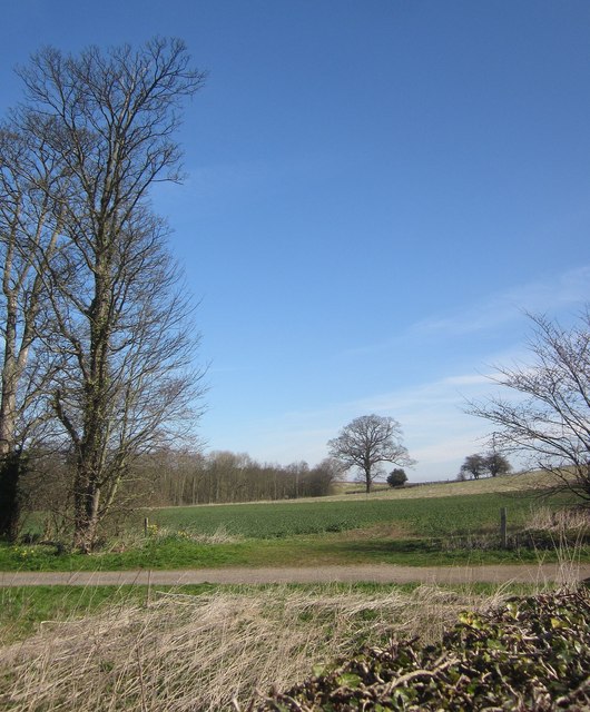
Image: © Derek Harper Taken: 6 Apr 2015
From Ox Moor Lane, looking across a track followed by footpath 15 60/2/1. The wood is Pessac Plantation.
Images are licensed for reuse under creativecommons.org/licenses/by-sa/2.0
Image Location
Latitude
53.977606
Longitude
-1.350437