Hardley, bog
Introduction
The photograph on this page of Hardley, bog by Mike Faherty as part of the Geograph project.
The Geograph project started in 2005 with the aim of publishing, organising and preserving representative images for every square kilometre of Great Britain, Ireland and the Isle of Man.

There are currently over 7.5m images from over 14,400 individuals and you can help contribute to the project by visiting https://www.geograph.org.uk
Hardley, bog
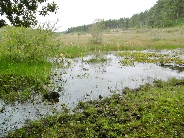
Image: © Mike Faherty Taken: 20 Jul 2015
At the southern end of a bottom that feeds into Mill Pond and Dark Water.
Images are licensed for reuse under creativecommons.org/licenses/by-sa/2.0
Image Location
Latitude
50.838216
Longitude
-1.399935