Mill House, Borde Hill Lane
Introduction
The photograph on this page of Mill House, Borde Hill Lane by Simon Carey as part of the Geograph project.
The Geograph project started in 2005 with the aim of publishing, organising and preserving representative images for every square kilometre of Great Britain, Ireland and the Isle of Man.

There are currently over 7.5m images from over 14,400 individuals and you can help contribute to the project by visiting https://www.geograph.org.uk
Mill House, Borde Hill Lane
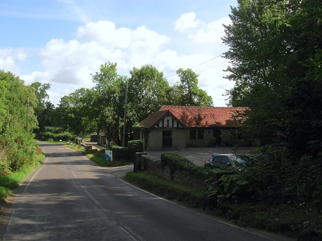
Image: © Simon Carey Taken: 18 Jul 2015
Originally built as part of the complex of farm buildings belonging to Naldred Farm which included Image located immediately to the north. Now home to a firm of business consultants the mill part of the name most likely derives from the former nearby sawmill.
Images are licensed for reuse under creativecommons.org/licenses/by-sa/2.0
Image Location
Latitude
51.024679
Longitude
-0.112075