Somerfield Road, N4 (4)
Introduction
The photograph on this page of Somerfield Road, N4 (4) by Mike Quinn as part of the Geograph project.
The Geograph project started in 2005 with the aim of publishing, organising and preserving representative images for every square kilometre of Great Britain, Ireland and the Isle of Man.

There are currently over 7.5m images from over 14,400 individuals and you can help contribute to the project by visiting https://www.geograph.org.uk
Somerfield Road, N4 (4)
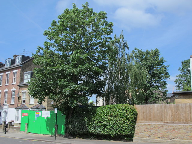
Image: © Mike Quinn Taken: 18 Jun 2015
See Image The original course of the New River crossed the street here at about 45 degrees, heading towards the building with the green dome at the northern corner of the junction of Seven Sisters Road and Blackstock Road - see Image (photographed by Des Blenkinsopp); the dome can just be seen above the hedge (centre).
Images are licensed for reuse under creativecommons.org/licenses/by-sa/2.0
Image Location
Latitude
51.564662
Longitude
-0.104221