Weighbridge hut at Hopton Heath station
Introduction
The photograph on this page of Weighbridge hut at Hopton Heath station by John Winder as part of the Geograph project.
The Geograph project started in 2005 with the aim of publishing, organising and preserving representative images for every square kilometre of Great Britain, Ireland and the Isle of Man.

There are currently over 7.5m images from over 14,400 individuals and you can help contribute to the project by visiting https://www.geograph.org.uk
Weighbridge hut at Hopton Heath station
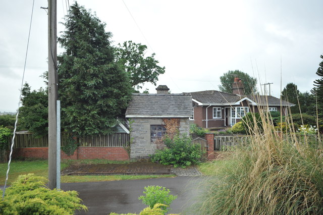
Image: © John Winder Taken: 12 Jul 2015
The former weighbridge and its stone built hut at the entrance to Hopton Heath railway station.
Images are licensed for reuse under creativecommons.org/licenses/by-sa/2.0
Image Location
Latitude
52.391287
Longitude
-2.911028