The Isis or Thames near Stanton Harcourt
Introduction
The photograph on this page of The Isis or Thames near Stanton Harcourt by Tom Pullman as part of the Geograph project.
The Geograph project started in 2005 with the aim of publishing, organising and preserving representative images for every square kilometre of Great Britain, Ireland and the Isle of Man.

There are currently over 7.5m images from over 14,400 individuals and you can help contribute to the project by visiting https://www.geograph.org.uk
The Isis or Thames near Stanton Harcourt
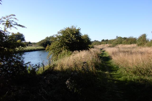
Image: © Tom Pullman Taken: 28 Aug 2005
A little further north, this path is marked "Towing Path". I hope there aren't so many trees in the way at that point.
Images are licensed for reuse under creativecommons.org/licenses/by-sa/2.0
Image Location


Leaflet Map data © OpenStreetMap
Latitude
51.747381
Longitude
-1.364795