View along the Wye at Whitney
Introduction
The photograph on this page of View along the Wye at Whitney by John Winder as part of the Geograph project.
The Geograph project started in 2005 with the aim of publishing, organising and preserving representative images for every square kilometre of Great Britain, Ireland and the Isle of Man.

There are currently over 7.5m images from over 14,400 individuals and you can help contribute to the project by visiting https://www.geograph.org.uk
View along the Wye at Whitney
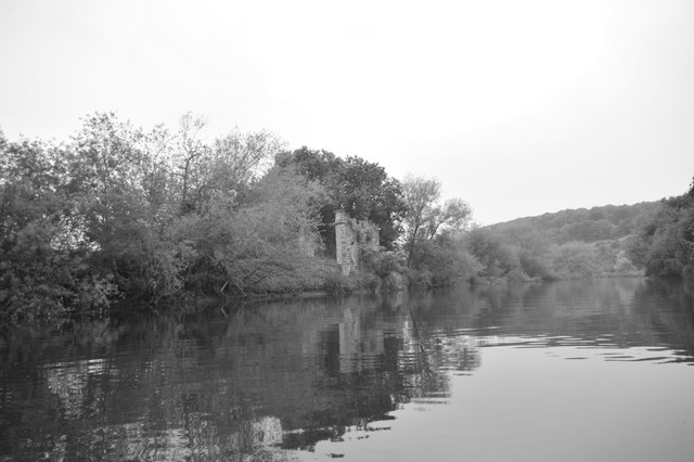
Image: © John Winder Taken: 13 Jun 2015
The railway bridge abutments are visible on the left. See Image for a description of the history, I'm not writing all that out again!
Images are licensed for reuse under creativecommons.org/licenses/by-sa/2.0
Image Location
Latitude
52.120973
Longitude
-3.087496