Junction in Cumnor
Introduction
The photograph on this page of Junction in Cumnor by Tom Pullman as part of the Geograph project.
The Geograph project started in 2005 with the aim of publishing, organising and preserving representative images for every square kilometre of Great Britain, Ireland and the Isle of Man.

There are currently over 7.5m images from over 14,400 individuals and you can help contribute to the project by visiting https://www.geograph.org.uk
Junction in Cumnor
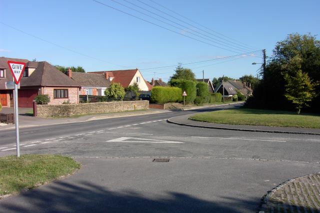
Image: © Tom Pullman Taken: 28 Aug 2005
The junction of the B4017 (Cumnor High Street), coming from the left-hand side of the image, and Leys Road, coming from the right-hand side. The photo was taken just in front of the village hall, which is next to a Unitarian church.
Images are licensed for reuse under creativecommons.org/licenses/by-sa/2.0
Image Location


Leaflet Map data © OpenStreetMap
Latitude
51.737344
Longitude
-1.338145