Lanes fork, Whitebrook
Introduction
The photograph on this page of Lanes fork, Whitebrook by Jaggery as part of the Geograph project.
The Geograph project started in 2005 with the aim of publishing, organising and preserving representative images for every square kilometre of Great Britain, Ireland and the Isle of Man.

There are currently over 7.5m images from over 14,400 individuals and you can help contribute to the project by visiting https://www.geograph.org.uk
Lanes fork, Whitebrook
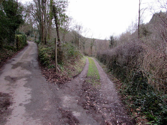
Image: © Jaggery Taken: 1 Feb 2015
The fork is about 50 metres SW of the main road through the village. The sign in the middle of the fork shows that the route on the right is a bridleway. The lane on the left leads to this http://www.geograph.org.uk/photo/4570501 hillside graveyard.
Images are licensed for reuse under creativecommons.org/licenses/by-sa/2.0
Image Location
Latitude
51.75524
Longitude
-2.67651