Wyedene House, Whitebrook
Introduction
The photograph on this page of Wyedene House, Whitebrook by Jaggery as part of the Geograph project.
The Geograph project started in 2005 with the aim of publishing, organising and preserving representative images for every square kilometre of Great Britain, Ireland and the Isle of Man.

There are currently over 7.5m images from over 14,400 individuals and you can help contribute to the project by visiting https://www.geograph.org.uk
Wyedene House, Whitebrook
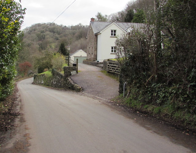
Image: © Jaggery Taken: 1 Feb 2015
Set back from the south side of the main road through the small village at the eastern edge of Monmouthshire.
Images are licensed for reuse under creativecommons.org/licenses/by-sa/2.0
Image Location
Latitude
51.756837
Longitude
-2.680155