Lane past The Bell, Whitebrook
Introduction
The photograph on this page of Lane past The Bell, Whitebrook by Jaggery as part of the Geograph project.
The Geograph project started in 2005 with the aim of publishing, organising and preserving representative images for every square kilometre of Great Britain, Ireland and the Isle of Man.

There are currently over 7.5m images from over 14,400 individuals and you can help contribute to the project by visiting https://www.geograph.org.uk
Lane past The Bell, Whitebrook
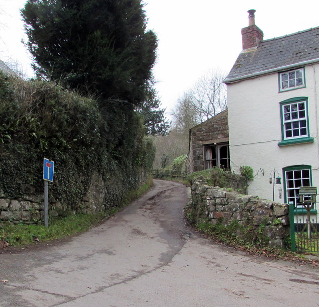
Image: © Jaggery Taken: 1 Feb 2015
Not a through route, a lane heads SW away from the main road through Whitebrook. A former pub, The Bell, is on the right. www.geograph.org.uk/photo/4567614
Images are licensed for reuse under creativecommons.org/licenses/by-sa/2.0
Image Location
Latitude
51.75524
Longitude
-2.67651