Ness Islands, Inverness
Introduction
The photograph on this page of Ness Islands, Inverness by Malc McDonald as part of the Geograph project.
The Geograph project started in 2005 with the aim of publishing, organising and preserving representative images for every square kilometre of Great Britain, Ireland and the Isle of Man.

There are currently over 7.5m images from over 14,400 individuals and you can help contribute to the project by visiting https://www.geograph.org.uk
Ness Islands, Inverness
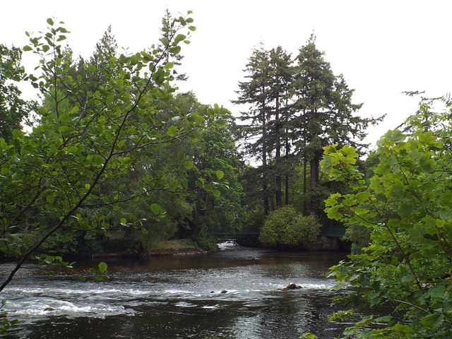
Image: © Malc McDonald Taken: 22 Jun 2015
The Ness Islands are small islands in the middle of the River Ness at Inverness. Just visible in this image are two dark green footbridges connecting the islands. The islands are only accessible on foot.
Images are licensed for reuse under creativecommons.org/licenses/by-sa/2.0
Image Location
Latitude
57.463611
Longitude
-4.231677