North and steeply down, Crinnick's Hill, Bodmin
Introduction
The photograph on this page of North and steeply down, Crinnick's Hill, Bodmin by Robin Stott as part of the Geograph project.
The Geograph project started in 2005 with the aim of publishing, organising and preserving representative images for every square kilometre of Great Britain, Ireland and the Isle of Man.

There are currently over 7.5m images from over 14,400 individuals and you can help contribute to the project by visiting https://www.geograph.org.uk
North and steeply down, Crinnick's Hill, Bodmin
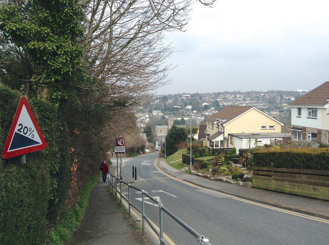
Image: © Robin Stott Taken: 16 Mar 2015
20% on the sign derives from the old-style indication of gradient, '1 in 5' – just over 11° from the horizontal.
Images are licensed for reuse under creativecommons.org/licenses/by-sa/2.0
Image Location
Latitude
50.468292
Longitude
-4.720562