Uphill and south on Turf Street, Bodmin
Introduction
The photograph on this page of Uphill and south on Turf Street, Bodmin by Robin Stott as part of the Geograph project.
The Geograph project started in 2005 with the aim of publishing, organising and preserving representative images for every square kilometre of Great Britain, Ireland and the Isle of Man.

There are currently over 7.5m images from over 14,400 individuals and you can help contribute to the project by visiting https://www.geograph.org.uk
Uphill and south on Turf Street, Bodmin
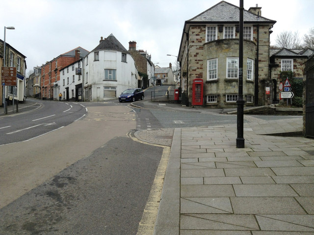
Image: © Robin Stott Taken: 16 Mar 2015
On the right are turnings for the Royal Mail sorting office, the Museum and Mount Folly. Turf Street bends left into St Nicholas Street, B3268. Crinnick's Hill goes steeply up ahead. A rare moment of little traffic.
Images are licensed for reuse under creativecommons.org/licenses/by-sa/2.0
Image Location
Latitude
50.470044
Longitude
-4.71869