Tree and barn, Luckett
Introduction
The photograph on this page of Tree and barn, Luckett by Derek Harper as part of the Geograph project.
The Geograph project started in 2005 with the aim of publishing, organising and preserving representative images for every square kilometre of Great Britain, Ireland and the Isle of Man.

There are currently over 7.5m images from over 14,400 individuals and you can help contribute to the project by visiting https://www.geograph.org.uk
Tree and barn, Luckett
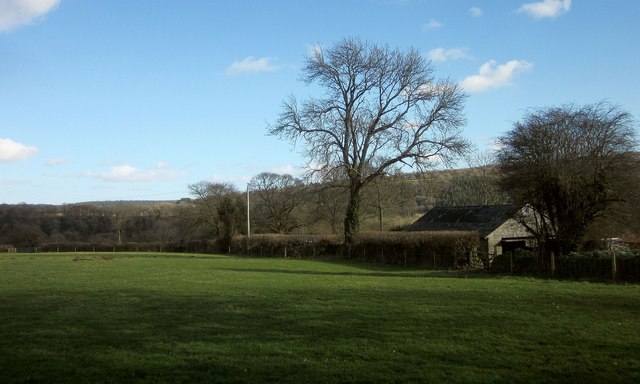
Image: © Derek Harper Taken: 4 Mar 2015
The barn is on the edge of both the village and the area of the Cornwall and West Devon Mining Landscape; the New Consols Mine mus have dominated the village in the C19 and early C20.
Images are licensed for reuse under creativecommons.org/licenses/by-sa/2.0
Image Location
Latitude
50.541887
Longitude
-4.275663