Poughnhill Farm
Introduction
The photograph on this page of Poughnhill Farm by Hugh Craddock as part of the Geograph project.
The Geograph project started in 2005 with the aim of publishing, organising and preserving representative images for every square kilometre of Great Britain, Ireland and the Isle of Man.

There are currently over 7.5m images from over 14,400 individuals and you can help contribute to the project by visiting https://www.geograph.org.uk
Poughnhill Farm
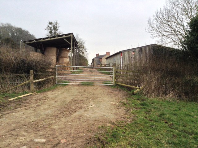
Image: © Hugh Craddock Taken: 11 Mar 2015
Poughnhill Farm from public footpath from Caynham Hill fort to Ledwyche Brook Crossing. A short public footpath, 0514/19A/11, projects through the gate for a short distance into the farm, and then stops (so far as the definitive map is concerned).
Images are licensed for reuse under creativecommons.org/licenses/by-sa/2.0
Image Location
Latitude
52.359138
Longitude
-2.678356