The former Cubitt Arms, Olliffe Street
Introduction
The photograph on this page of The former Cubitt Arms, Olliffe Street by Stephen Craven as part of the Geograph project.
The Geograph project started in 2005 with the aim of publishing, organising and preserving representative images for every square kilometre of Great Britain, Ireland and the Isle of Man.

There are currently over 7.5m images from over 14,400 individuals and you can help contribute to the project by visiting https://www.geograph.org.uk
The former Cubitt Arms, Olliffe Street
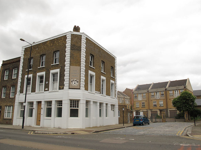
Image: © Stephen Craven Taken: 15 Jun 2014
The pub has closed since a previous contributor's photo in 2009 Image Presumably named after William Cubitt who developed the area (source: https://en.wikipedia.org/wiki/Cubitt_Town )
Images are licensed for reuse under creativecommons.org/licenses/by-sa/2.0
Image Location
Latitude
51.493364
Longitude
-0.007348