Quietway improvements (1)
Introduction
The photograph on this page of Quietway improvements (1) by Stephen Craven as part of the Geograph project.
The Geograph project started in 2005 with the aim of publishing, organising and preserving representative images for every square kilometre of Great Britain, Ireland and the Isle of Man.

There are currently over 7.5m images from over 14,400 individuals and you can help contribute to the project by visiting https://www.geograph.org.uk
Quietway improvements (1)
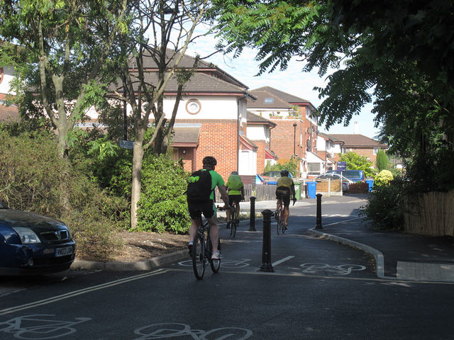
Image: © Stephen Craven Taken: 10 Jul 2015
Where Chaucer Drive meets Oxley Close, the former forest of bollards Image was replaced around April 2015 with a simpler arrangement and more signage to indicate that it is part of the London Cycle Network (and the new "quietway" from Waterloo to Greenwich).
Images are licensed for reuse under creativecommons.org/licenses/by-sa/2.0
Image Location
Latitude
51.489252
Longitude
-0.073356