Field south of Pempwell
Introduction
The photograph on this page of Field south of Pempwell by Derek Harper as part of the Geograph project.
The Geograph project started in 2005 with the aim of publishing, organising and preserving representative images for every square kilometre of Great Britain, Ireland and the Isle of Man.

There are currently over 7.5m images from over 14,400 individuals and you can help contribute to the project by visiting https://www.geograph.org.uk
Field south of Pempwell
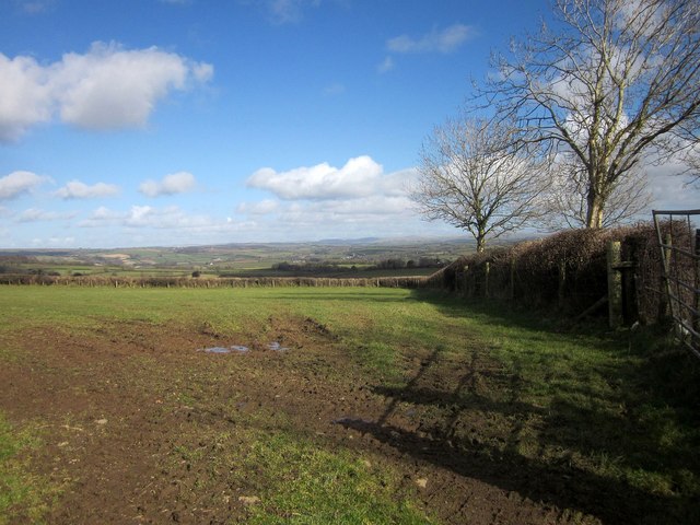
Image: © Derek Harper Taken: 4 Mar 2015
By a crossroads of lanes, also shown at http://www.geograph.org.uk/search.php?i=56755646 ; the field boundary on the right borders the lane to Horsebridge. Dim and distant is Dartmoor.
Images are licensed for reuse under creativecommons.org/licenses/by-sa/2.0
Image Location
Latitude
50.550566
Longitude
-4.296268