Devon farmland near Edistone
Introduction
The photograph on this page of Devon farmland near Edistone by Roger D Kidd as part of the Geograph project.
The Geograph project started in 2005 with the aim of publishing, organising and preserving representative images for every square kilometre of Great Britain, Ireland and the Isle of Man.

There are currently over 7.5m images from over 14,400 individuals and you can help contribute to the project by visiting https://www.geograph.org.uk
Devon farmland near Edistone
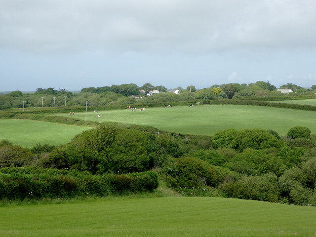
Image: © Roger D Kidd Taken: 28 Jun 2015
The tree clad valley cloaks the stream which joins another near Lymebridge, and reaches the sea at Speke's Mill Mouth.
Images are licensed for reuse under creativecommons.org/licenses/by-sa/2.0
Image Location


Leaflet Map data © OpenStreetMap
Latitude
50.965288
Longitude
-4.501679