Field near Pempwell
Introduction
The photograph on this page of Field near Pempwell by Derek Harper as part of the Geograph project.
The Geograph project started in 2005 with the aim of publishing, organising and preserving representative images for every square kilometre of Great Britain, Ireland and the Isle of Man.

There are currently over 7.5m images from over 14,400 individuals and you can help contribute to the project by visiting https://www.geograph.org.uk
Field near Pempwell
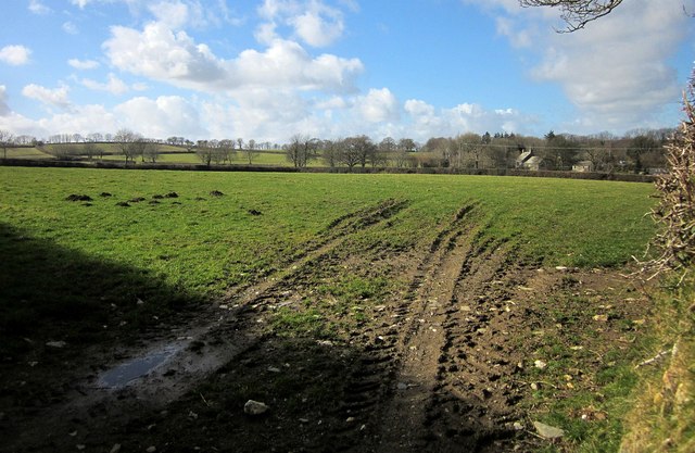
Image: © Derek Harper Taken: 4 Mar 2015
This is probably sheep pasture, but evidence suggest the main four-legged animal currently in residence is the mole. The view is towards Higher Oldclims, the farmhouse right of centre, in Image, and described at http://list.historicengland.org.uk/resultsingle.aspx?uid=1291094&searchtype=mapsearch .
Images are licensed for reuse under creativecommons.org/licenses/by-sa/2.0
Image Location
Latitude
50.551771
Longitude
-4.299009