Straight road near Marlborough Hall
Introduction
The photograph on this page of Straight road near Marlborough Hall by David P Howard as part of the Geograph project.
The Geograph project started in 2005 with the aim of publishing, organising and preserving representative images for every square kilometre of Great Britain, Ireland and the Isle of Man.

There are currently over 7.5m images from over 14,400 individuals and you can help contribute to the project by visiting https://www.geograph.org.uk
Straight road near Marlborough Hall
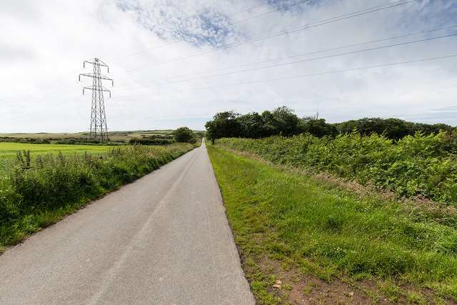
Image: © David P Howard Taken: 7 Jul 2015
A lane joining the road between Egremont and St. Bees to the B5345. The electricity lines go off to the left to the Sellafield nuclear plant about 7 kilometres away.
Images are licensed for reuse under creativecommons.org/licenses/by-sa/2.0
Image Location
Latitude
54.479601
Longitude
-3.559083