Start of the 30 zone at the western edge of Ferryside
Introduction
The photograph on this page of Start of the 30 zone at the western edge of Ferryside by Jaggery as part of the Geograph project.
The Geograph project started in 2005 with the aim of publishing, organising and preserving representative images for every square kilometre of Great Britain, Ireland and the Isle of Man.

There are currently over 7.5m images from over 14,400 individuals and you can help contribute to the project by visiting https://www.geograph.org.uk
Start of the 30 zone at the western edge of Ferryside
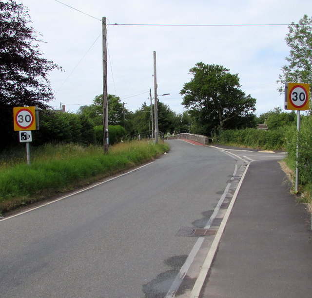
Image: © Jaggery Taken: 4 Jul 2015
The 40mph speed limit along Carmarthen Road drops to 30 on the approach to Ystrad Bridge. http://www.geograph.org.uk/photo/4553911
Images are licensed for reuse under creativecommons.org/licenses/by-sa/2.0
Image Location
Latitude
51.774304
Longitude
-4.360347