Gorsedd Circle east of Machynlleth
Introduction
The photograph on this page of Gorsedd Circle east of Machynlleth by Bob Bowyer as part of the Geograph project.
The Geograph project started in 2005 with the aim of publishing, organising and preserving representative images for every square kilometre of Great Britain, Ireland and the Isle of Man.

There are currently over 7.5m images from over 14,400 individuals and you can help contribute to the project by visiting https://www.geograph.org.uk
Gorsedd Circle east of Machynlleth
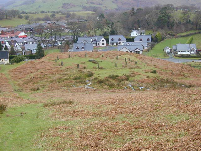
Image: © Bob Bowyer Taken: 11 Oct 2002
On the left as you enter the town, close to the golf course. Created for the Eisteddfod in 1937.
Images are licensed for reuse under creativecommons.org/licenses/by-sa/2.0
Image Location


Leaflet Map data © OpenStreetMap
Latitude
52.588002
Longitude
-3.839169