Field at Dinton
Introduction
The photograph on this page of Field at Dinton by Derek Harper as part of the Geograph project.
The Geograph project started in 2005 with the aim of publishing, organising and preserving representative images for every square kilometre of Great Britain, Ireland and the Isle of Man.

There are currently over 7.5m images from over 14,400 individuals and you can help contribute to the project by visiting https://www.geograph.org.uk
Field at Dinton
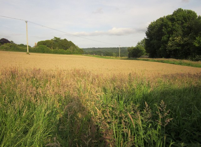
Image: © Derek Harper Taken: 27 Jun 2015
At last, after a nightmarish twenty minutes, I have found footpath DINT 13; it actually runs to the left of the camera up the side of the field. The path has been truncated by buildings; it starts from the B3069 and then gives up, re-emerging at this point from an alley beside Spracklands. Trouble is, the OS map shows it as continuous, and also shows the new buildings, so one would assume, as I did, that the two co-exist. No they don't. I went backwards and forwards about five times. What with problems with several footpaths at Fovant, and the tiring nature of such issues after many miles on the hoof, I've lost about an hour. For the record, another path, DINT 5, runs blithely from west to east here, crossing this field.
Images are licensed for reuse under creativecommons.org/licenses/by-sa/2.0
Image Location
Latitude
51.083716
Longitude
-1.975679