Signpost at the western edge of Sling
Introduction
The photograph on this page of Signpost at the western edge of Sling by Jaggery as part of the Geograph project.
The Geograph project started in 2005 with the aim of publishing, organising and preserving representative images for every square kilometre of Great Britain, Ireland and the Isle of Man.

There are currently over 7.5m images from over 14,400 individuals and you can help contribute to the project by visiting https://www.geograph.org.uk
Signpost at the western edge of Sling
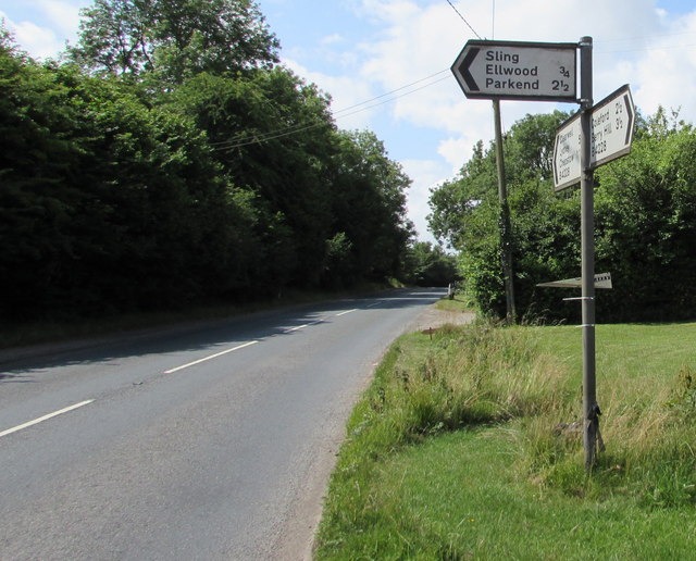
Image: © Jaggery Taken: 5 Jul 2015
Alongside the B4228. Left for Sling, Ellwood and Parkend. Ahead along the B4228 for Clearwell, Lydney and Chepstow. Behind the camera for Coleford and Berry Hill.
Images are licensed for reuse under creativecommons.org/licenses/by-sa/2.0
Image Location
Latitude
51.767299
Longitude
-2.608726