Barrington: church
Introduction
The photograph on this page of Barrington: church by Martin Bodman as part of the Geograph project.
The Geograph project started in 2005 with the aim of publishing, organising and preserving representative images for every square kilometre of Great Britain, Ireland and the Isle of Man.

There are currently over 7.5m images from over 14,400 individuals and you can help contribute to the project by visiting https://www.geograph.org.uk
Barrington: church
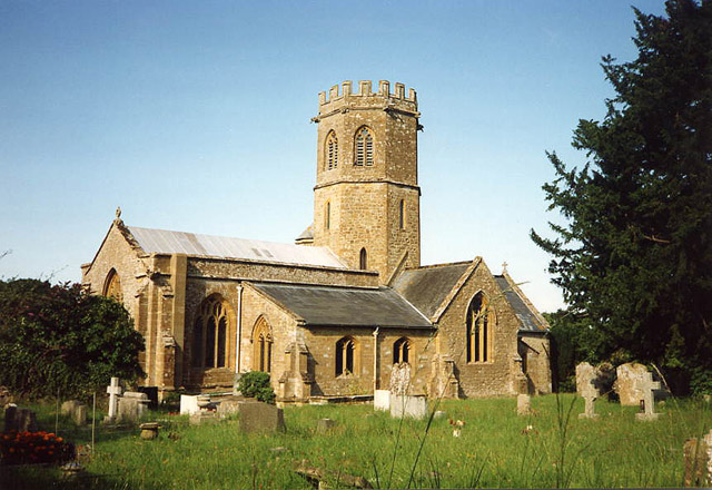
Image: © Martin Bodman Taken: Unknown
St Mary’s church stands above much of the village and dates from the 13th century. With an octagonal crossing tower and transepts the church was nevertheless a subsidiary foundation to South Petherton
Images are licensed for reuse under creativecommons.org/licenses/by-sa/2.0
Image Location


Leaflet Map data © OpenStreetMap
Latitude
50.962625
Longitude
-2.877099