Church Converted into Flats on A56/Mancunian Way Roundabout
Introduction
The photograph on this page of Church Converted into Flats on A56/Mancunian Way Roundabout by Gary Barber as part of the Geograph project.
The Geograph project started in 2005 with the aim of publishing, organising and preserving representative images for every square kilometre of Great Britain, Ireland and the Isle of Man.

There are currently over 7.5m images from over 14,400 individuals and you can help contribute to the project by visiting https://www.geograph.org.uk
Church Converted into Flats on A56/Mancunian Way Roundabout
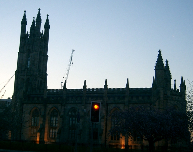
Image: © Gary Barber Taken: 18 Apr 2005
Images are licensed for reuse under creativecommons.org/licenses/by-sa/2.0
Image Location


Leaflet Map data © OpenStreetMap
Latitude
53.472061
Longitude
-2.259234