Looking east-southeast along The Street
Introduction
The photograph on this page of Looking east-southeast along The Street by John Baker as part of the Geograph project.
The Geograph project started in 2005 with the aim of publishing, organising and preserving representative images for every square kilometre of Great Britain, Ireland and the Isle of Man.

There are currently over 7.5m images from over 14,400 individuals and you can help contribute to the project by visiting https://www.geograph.org.uk
Looking east-southeast along The Street
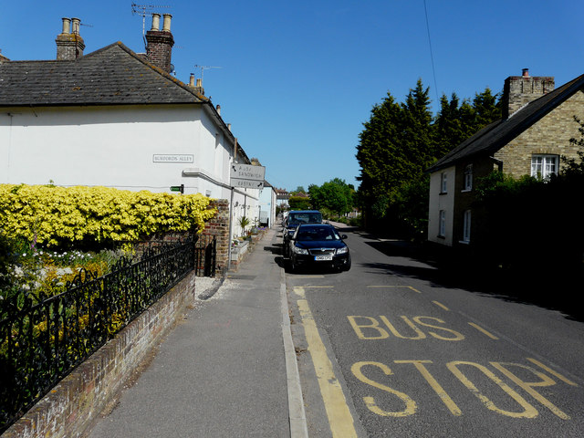
Image: © John Baker Taken: 7 Jun 2015
My eye was caught by the ancient road sign, at the entrance to Burfords Alley (which also serves as a public footpath), which has arrows, one pointing the way to the A257 (&) Sandwich and the other to Eastry.
Images are licensed for reuse under creativecommons.org/licenses/by-sa/2.0
Image Location
Latitude
51.278435
Longitude
1.28169