The New River by Churchfields, EN10 (2)
Introduction
The photograph on this page of The New River by Churchfields, EN10 (2) by Mike Quinn as part of the Geograph project.
The Geograph project started in 2005 with the aim of publishing, organising and preserving representative images for every square kilometre of Great Britain, Ireland and the Isle of Man.

There are currently over 7.5m images from over 14,400 individuals and you can help contribute to the project by visiting https://www.geograph.org.uk
The New River by Churchfields, EN10 (2)
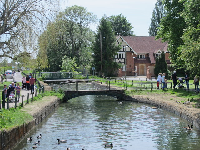
Image: © Mike Quinn Taken: 27 May 2015
See Image Photo taken from the bridge shown in Image Looking downstream towards the Image and the Image
Images are licensed for reuse under creativecommons.org/licenses/by-sa/2.0
Image Location


Leaflet Map data © OpenStreetMap
Latitude
51.744043
Longitude
-0.016036